
Trails
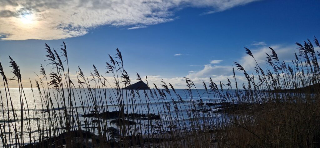
The South West Coast Path which runs 630miles from Minehead to Poole, is on the shore in front of the Skelligs. The majority of the walks close by exploit the path, given the scenery available. If you wanted to walk to Minehead or Poole you can! There are National Trust local walks, and South West Coast Path Association local walks, some of which are listed below. One thing to note is that in wet wet weather the section left to wards Wembury can be very muddy and slippy, dropping onto the beach is sometimes the best option. Click any of the maps below to go to the walk’s detail page.
SWCP Walks
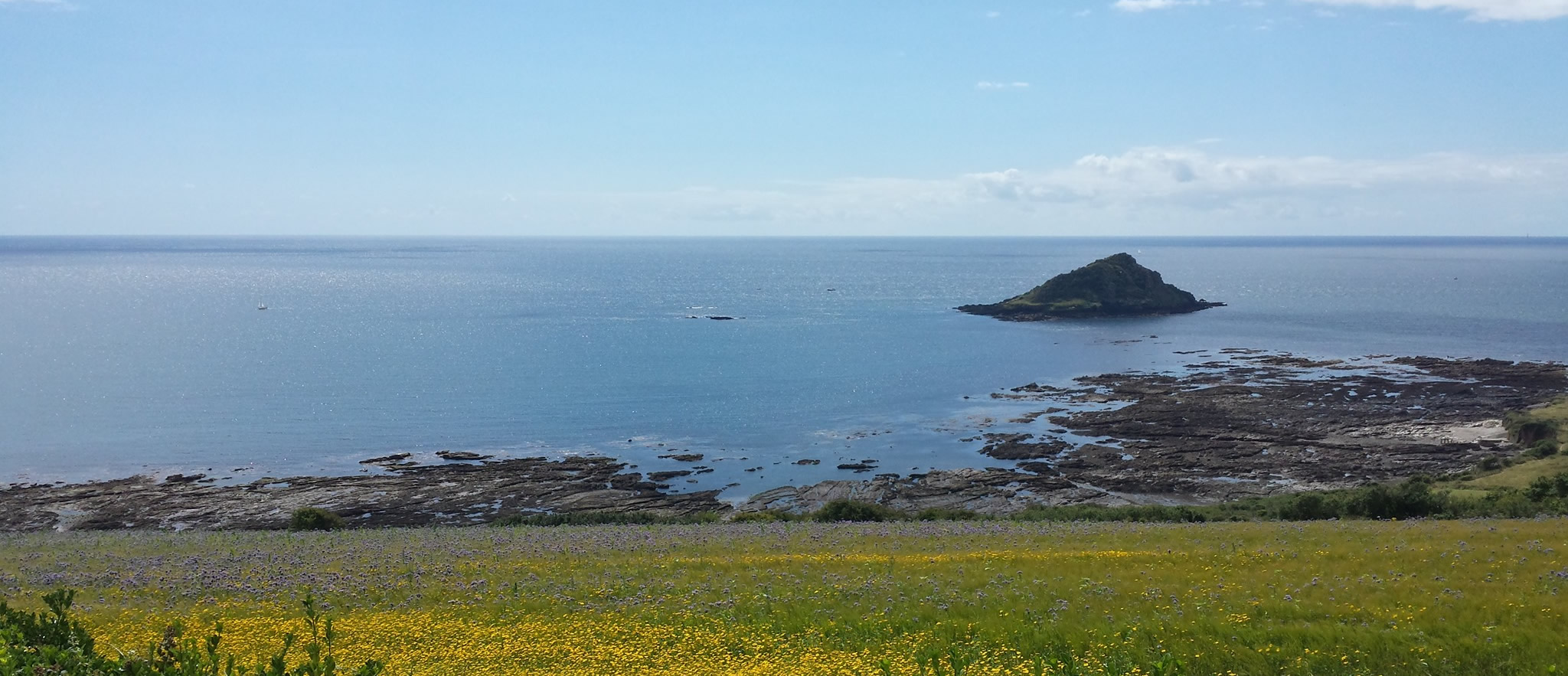
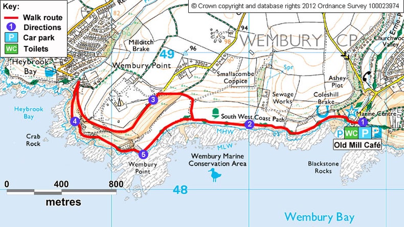
Wembury & Heybrook Bay 4.2 miles

About as local area a walk as you can get with it passing the gate of The Skelligs!
Wembury to Mount Batten Point 5.8 miles

This is pretty much a walk into Plymouth, with the full reveal of the eastern side of Plymouth Sound. Options at the end are a coffee shop, a pub, or continue into Plymouth on the passenger ferry and catch the number 49 bus back to the Skelligs, just don’t miss it!!
Wembury & Staddiscombe 7.7 Miles

A circular walk around The Skelligs, the closest place to join the walk is to head down the path at the top of the drive. SHowing that the area isn’t just coast centric, you’ll enjoy the farmland countryside in the area as well!
National Trust Walks
Wembury Beach to Heybrook Bay 3 miles
A shorter variant of the walk above, and can be combined with The Strandline Walk where walk to wembury can be done on the shore.
Wembury Woods 5 miles
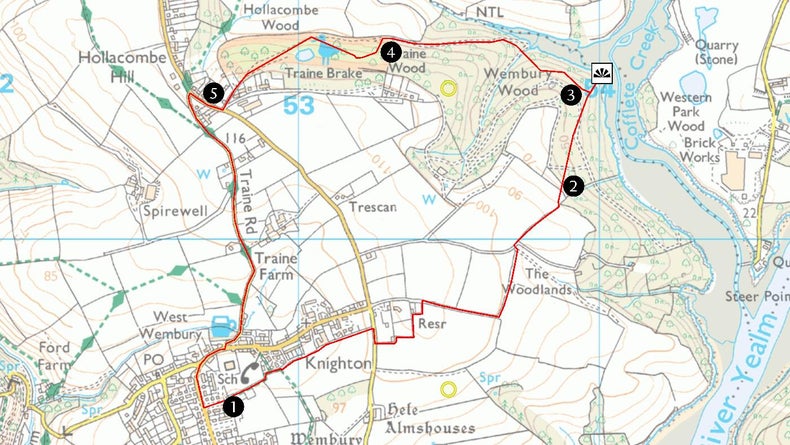
While the area is predominately renown for the coastal scenery, there are also woodland trails and this is one of them. The Odd Wheel awaits for you at the finish to recover!
Revelstoke Drive and Noss Mayo 4 miles
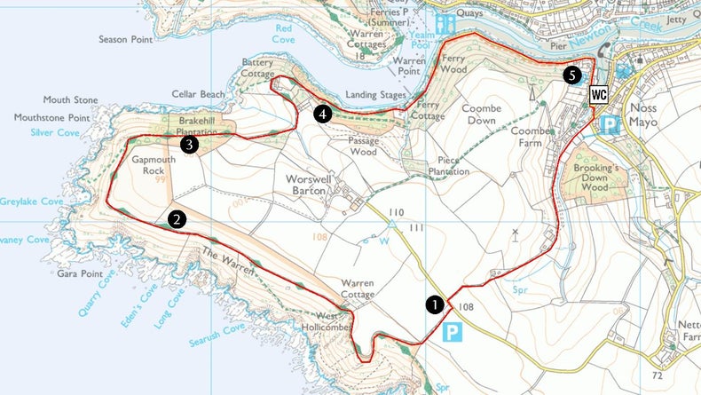
A personal favourite, giving amazing views back across Wembury Bay. If timed to reach Point 3 at low tide you will see the sandspit across the mouth of the River Yealm. The start point is a 30 minute drive from the house, though this walk is well suited to exploring the beautiful villages of Noss Mayo, and Newton Ferrers.
Runs
MUDDDY WHEN WET 1.3 miles (2km)
The northern part of this run is on a green lane which gets very waterlogged when wet. When dry gives an amazing view out to sea on the way back.
heybrook bay loop 3 miles
The first mile is perfect for the warm up, into a lung/leg buster of a hill, and the uphill that never quite stops. Top out at the end of mile 2, and then a drop, and climb, and an easy descent to the finish.
heybrook bay loop 5 miles
An extension of the 3 mile version with an add on loop to take the distance to 5 miles, enjoy two additional (but not excessive) drops in height followed by a regain, but a generally flat upper loop.
Skelligs to Bovisand Loop 6 miles
Run down to the coast path, and along to Bovisand, stop at the Cafe, or turn around and straight back.
Skelligs to Warren Point 6 miles
The full length of the coast path to Warren Point, you’ll need God as you climb up and past Wembury Church, enjoy the coastal view, and if timed for low tide you’ll see the exposed sandbar at the mouth of the Yealm Estuary,
Fields and Coast 5 miles
Ever such a slight up hill to warm up, into rough country then coastal paths, with a steep ascent or two. Can be particularly muddy as you leave the road sections, and adjacent to the flat field down from The Skelligs.