Skip to content
The Skelligs
Home
Booking
Gallery
Med & Bread
Trails
Food
Beaches
Water Sports
History & Mystery
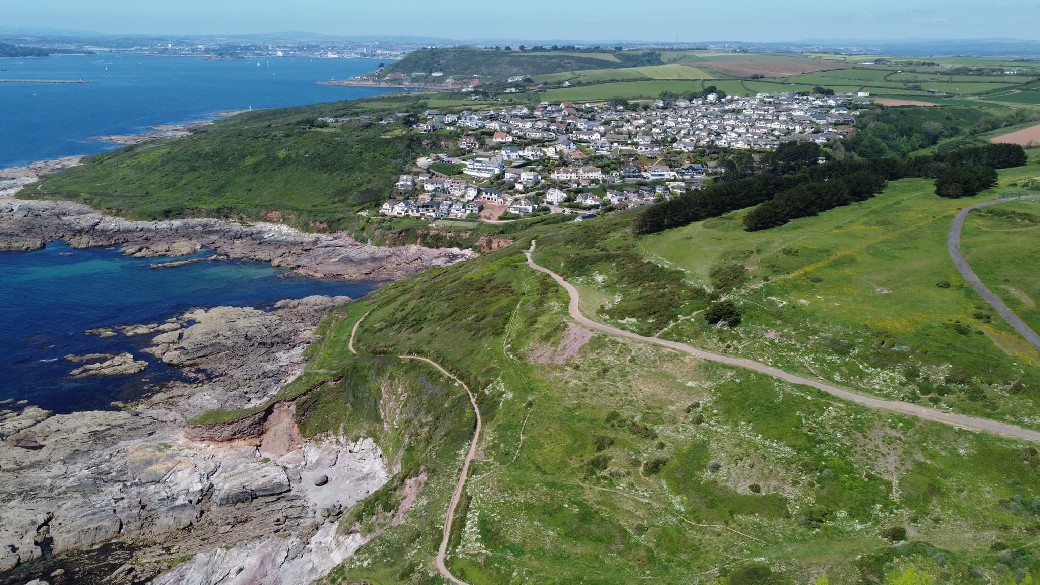
Wembury Point
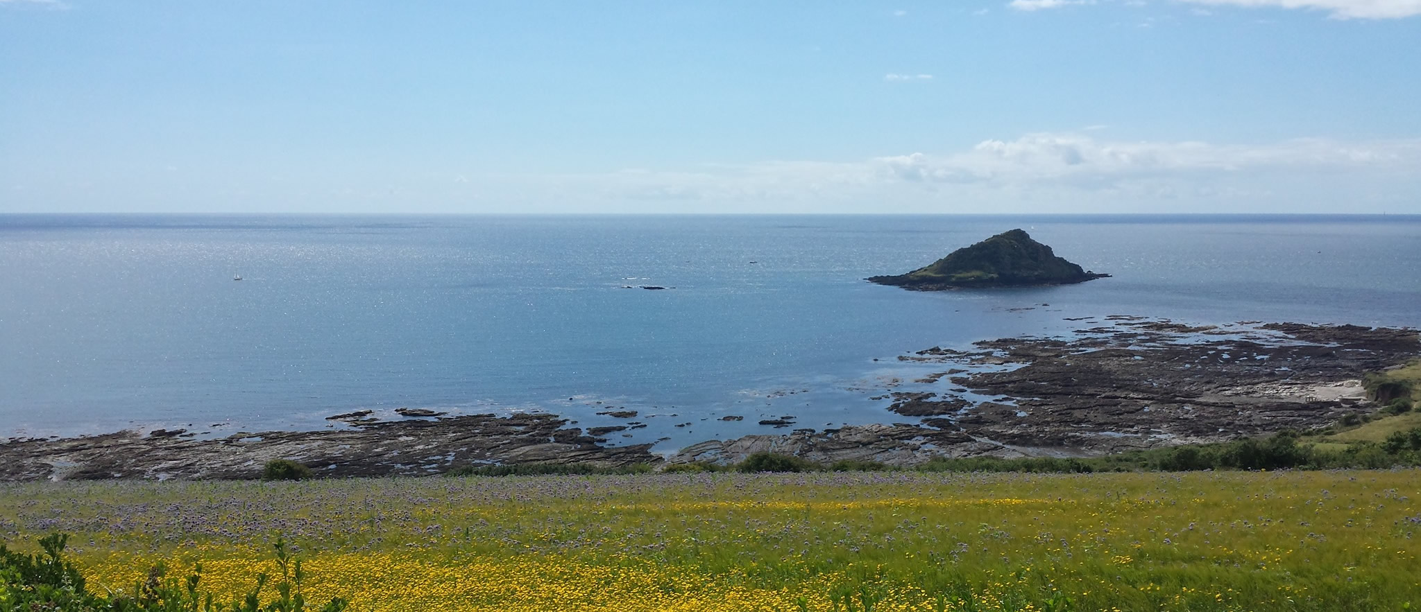
The Great Mewstone
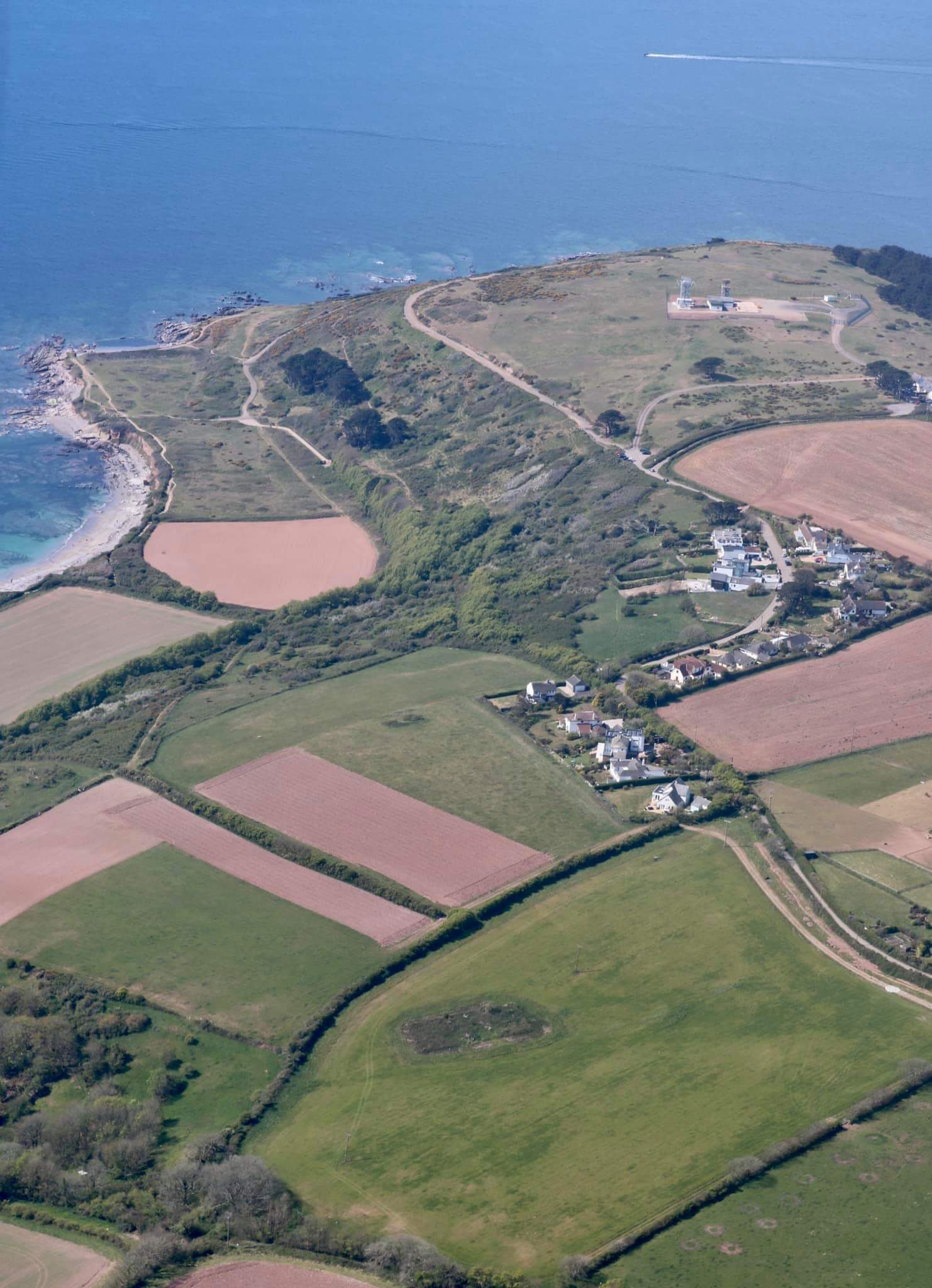
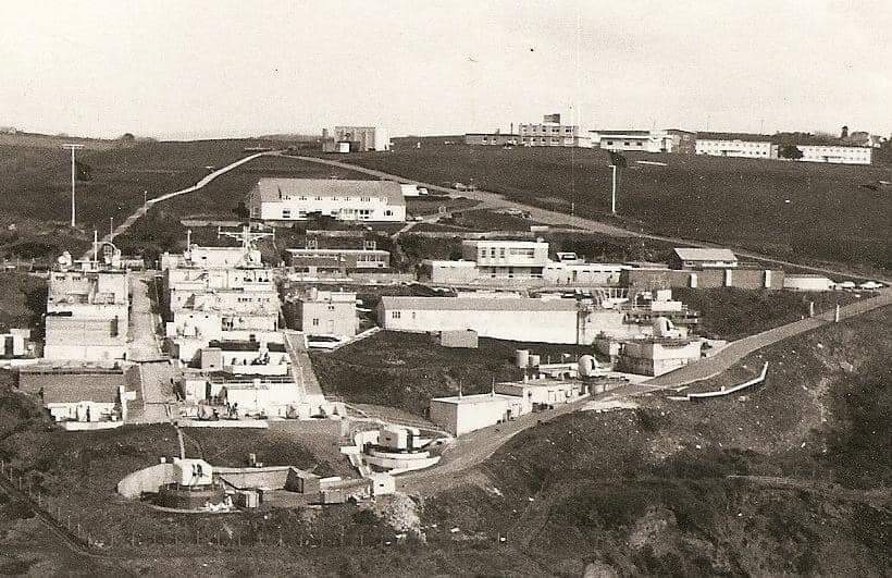
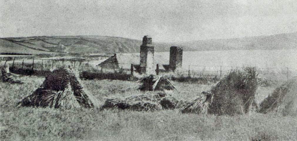
HMS Cambridge
Heybrook Bay
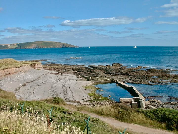
Lido
Langdon Boathouse
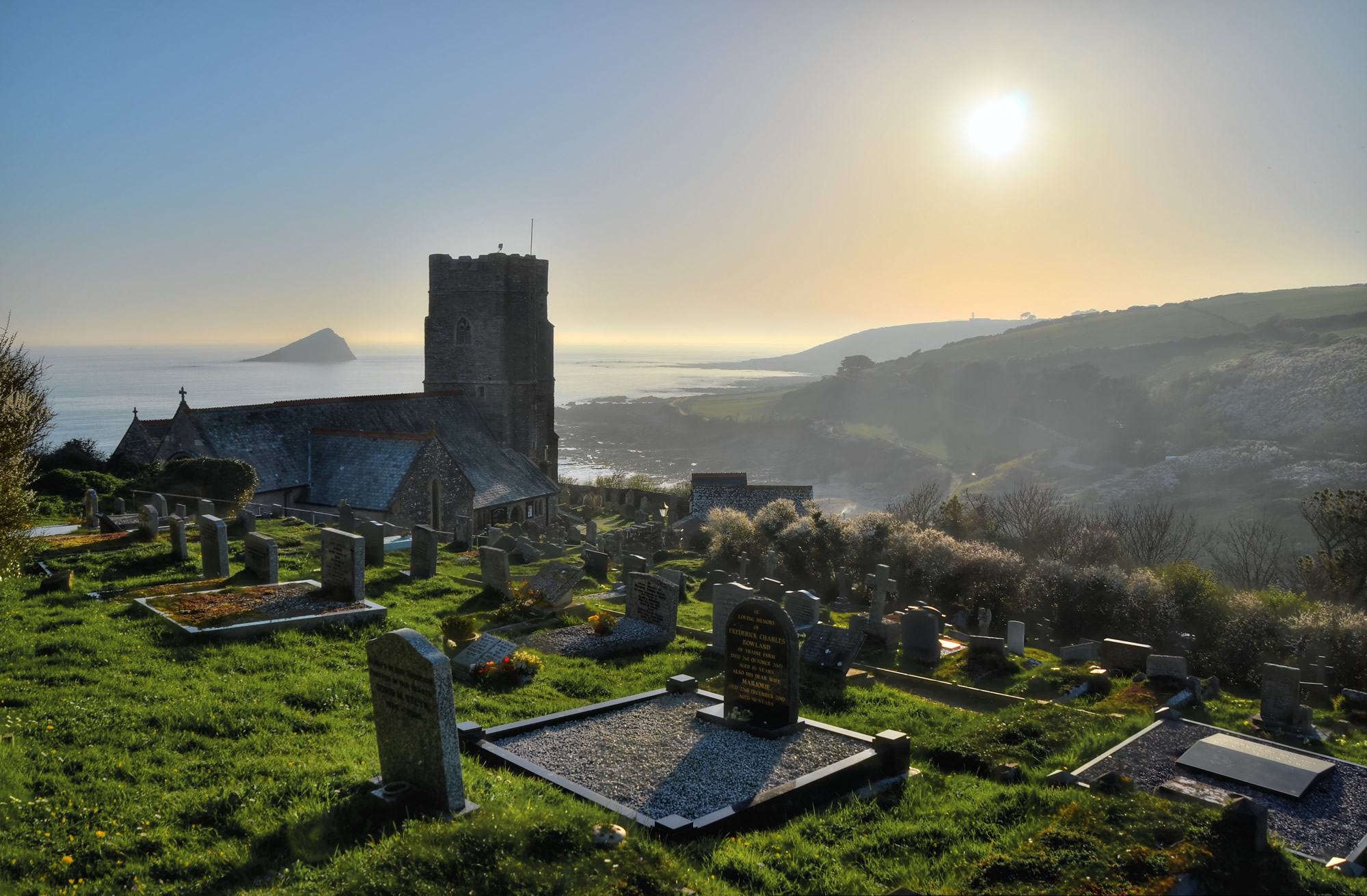
St Werburgh Church
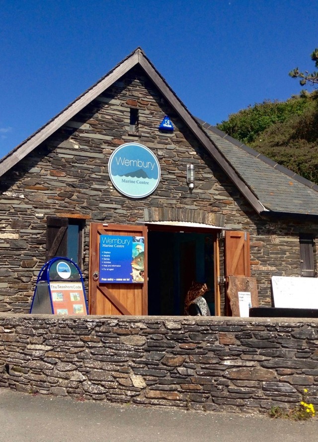
Marine Centre
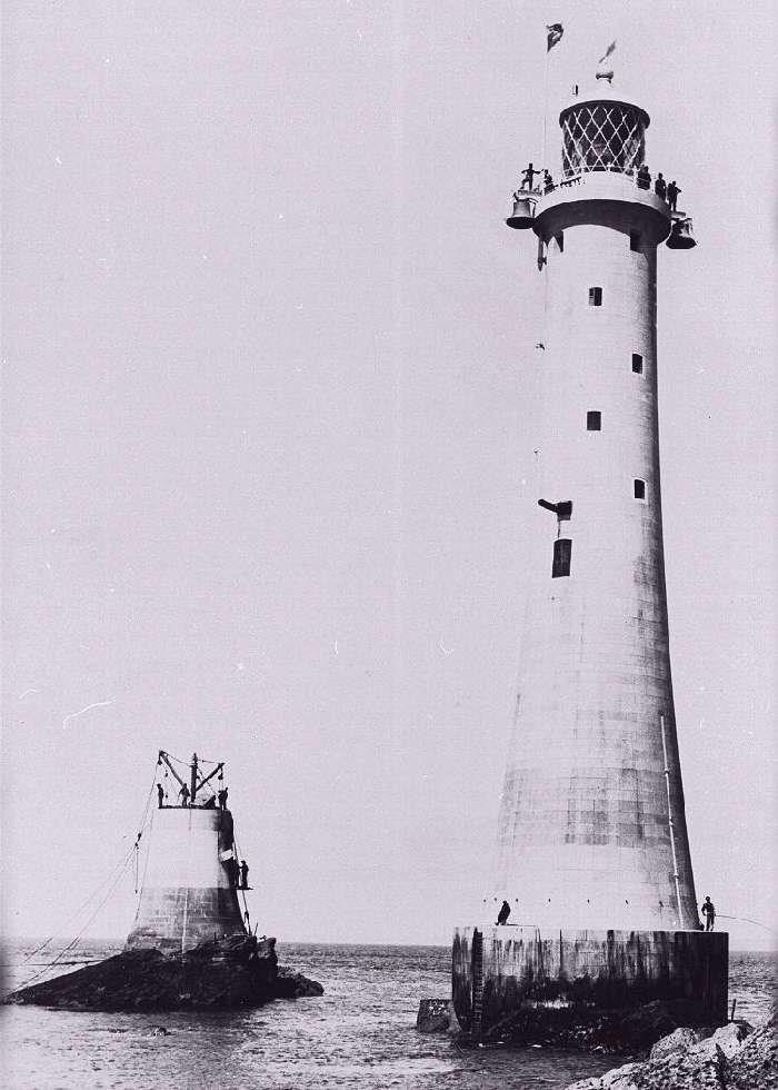
Eddystone Lighthouses
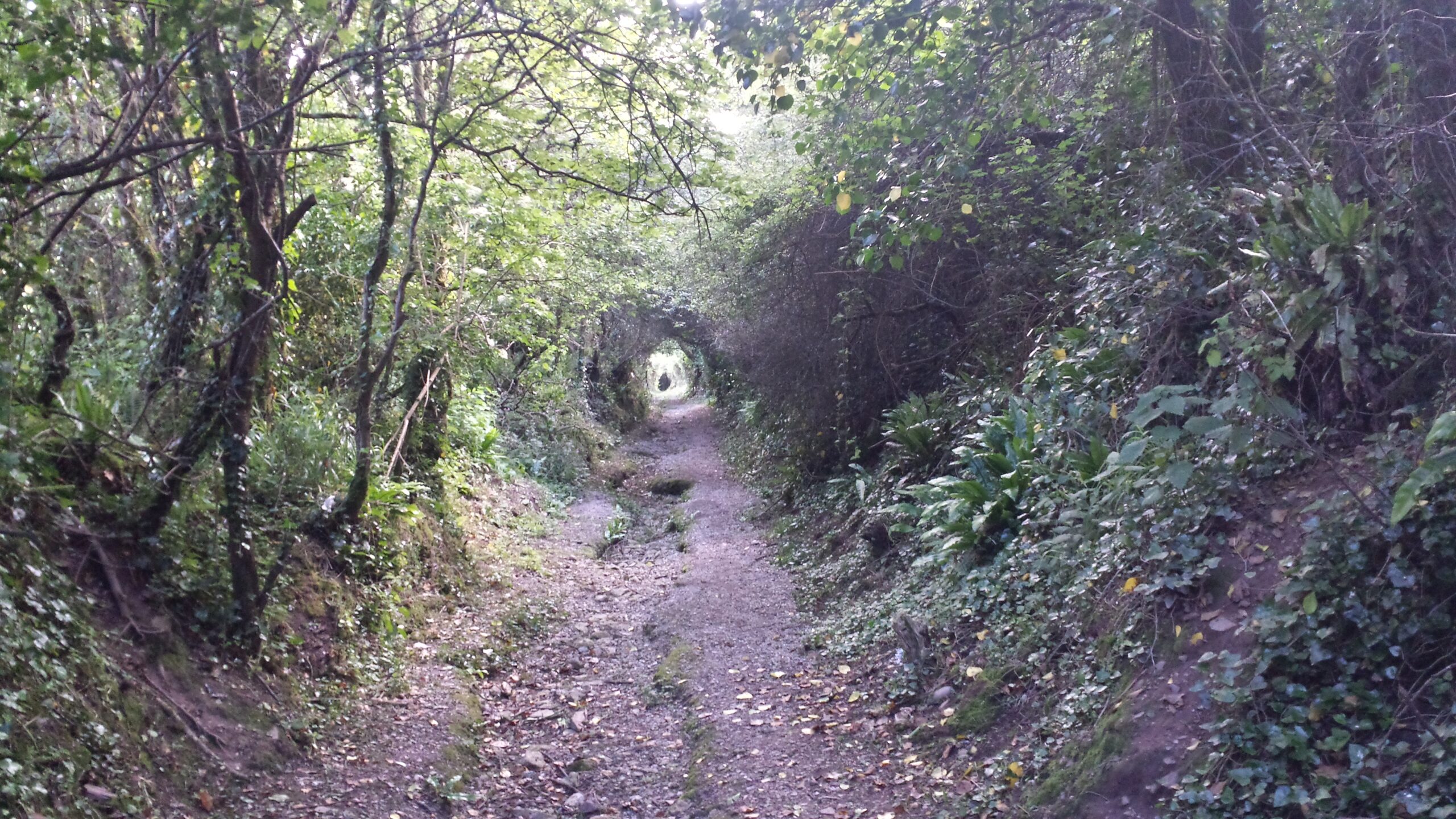
Green Lanes
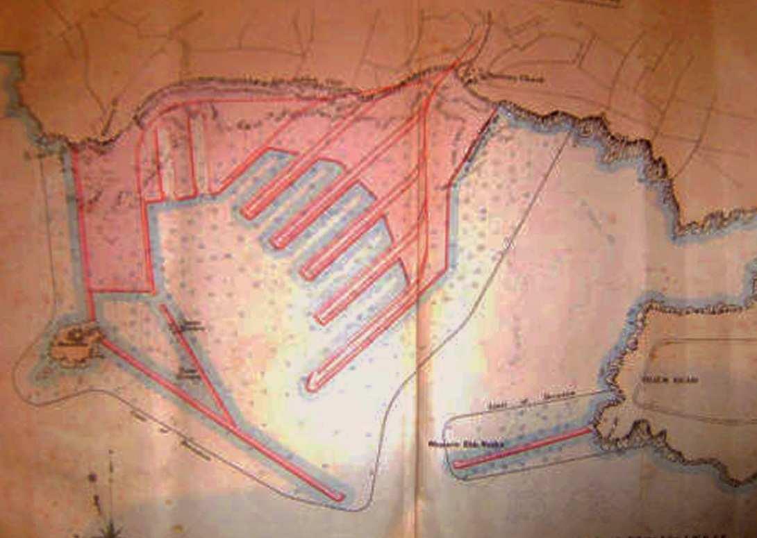
Wembury Ferry Port
Francis Frith
Facebook
Instagram
History & Mystery
Wembury Point
The great mewstone
HMS Cambridge
Heybrook Bay
LIDO
Langdon Boathouse
st werburgh church
Marine centre
eddystone lighthouse
green lanes
ferry port